
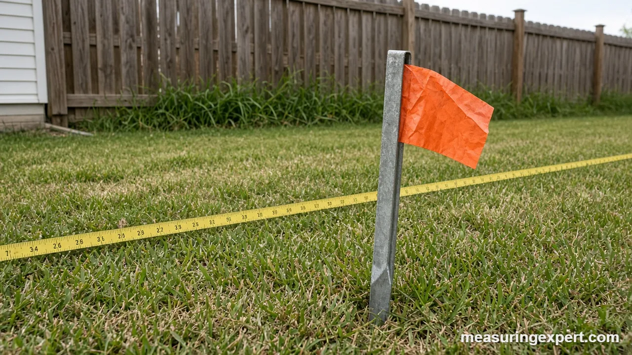
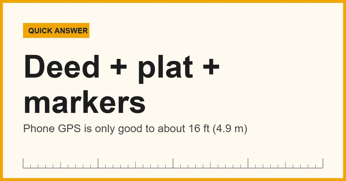
To measure property boundaries accurately, start with your recorded deed and plat, locate the corner markers, and then measure the horizontal distance between them with a steel tape or laser. Phone GPS is only good to about 16 feet (4.9 m), so for legal lines, hire a licensed land surveyor.
Convert Distances Before You Measure Property Boundaries
Deeds, plats and tape measures do not always use the same units. For example, an old deed may list chains, while your tape reads feet and a new plat may use meters. Enter a distance below to convert it before you head outside.
Property lines decide where you can build a fence, plant a hedge or park a trailer. They also decide who pays when a tree falls across the line. A wrong guess of even a few feet can start a feud with a neighbor, and moving a fence later costs far more than measuring first.
In short: you can measure property boundaries yourself to check distances and find likely corners, but you cannot create a legal line that way. A licensed surveyor does that by reading your deed, finding original evidence and measuring from it.
The Bureau of Land Management (BLM), which runs the federal land survey program, explains that boundaries are created, restored and marked by cadastral surveys, and that a deed description that mathematically closes does not by itself show a boundary free of conflict. This guide shows what you can safely do on your own and where the limits start.
Key Takeaways
- Your recorded deed and plat come first; the tape comes second.
- Boundary distances are horizontal, so measure level or correct for slope.
- Smartphone GPS is typically accurate to about 16 feet (4.9 m) under open sky.
- Survey-grade GPS can reach a few centimeters, but it needs special gear and training.
- County GIS parcel maps are not legal boundaries.
- One acre is 43,560 square feet, which is a square about 208.7 feet on each side.
- Call 811 before you dig, even for a small stake.
Read the Paperwork First Before You Measure Property Boundaries
Good measuring starts at a desk. Your deed holds the legal description, and your plat (a recorded map of the lot) shows the shape. You can usually get both from the county recorder or register of deeds. In addition, many counties post scanned copies online.
Lots in newer subdivisions are often described by lot and block number, with distances shown on the plat. Older rural parcels usually use “metes and bounds”. That style walks the boundary from a starting point using compass bearings and distances, often in chains. One surveyor’s chain is 66 feet (20.1168 m), and 80 chains make a mile. As a result, ten square chains make exactly one acre.
In much of the western United States, land is divided under the Public Land Survey System (PLSS). The BLM notes that early surveyors marked corners with stones and wooden posts, and that current federal monuments are 28-inch stainless steel pipes with 3-inch brass caps. Likewise, your own corners may be iron rods, concrete markers or pipes. Therefore, write down every distance and bearing on your plat before you go out, and sketch the lot to scale.
Ways to Measure Property Boundaries Compared
However, no single tool fits every lot. The table below compares the common options and shows where each one fits. The accuracy column describes typical results, not guarantees, because terrain, trees and technique change them.
| Method | Best for | Typical limit |
|---|---|---|
| Steel or fiberglass tape (100 ft and up) | Checking short lines between known corners | Sag, wind and slope add error; needs a helper |
| Measuring wheel | Rough lengths on open, even ground | Wheel slip and bumps can add a percent or more |
| Laser distance measurer | Straight lines with a clear target | Trees, bright sun and long range reduce reliability |
| Phone GPS or mapping app | Rough orientation, finding the general area | About 16 ft (4.9 m) under open sky, worse near buildings and trees |
| Survey-grade GNSS, total station | Legal boundary work by a licensed surveyor | Centimeter level with proper setup and training |
At first, a one percent error sounds small. Over 100 feet, however, it is a full foot, which is plenty to put a fence on the wrong side. Consequently, use the cheaper tools to confirm what the paperwork says, not to replace it.
Recommended Tools to Measure Property Boundaries
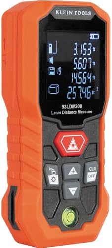
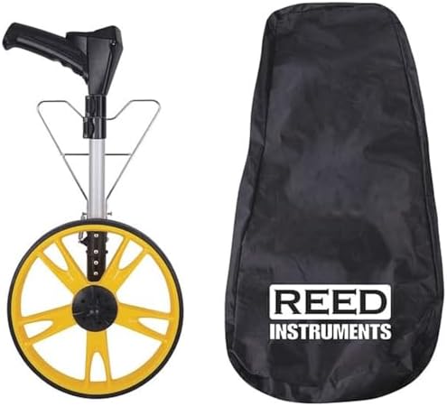
A DIY check needs only a few tools. First, a long tape or measuring wheel covers most distances. Next, a laser measurer helps with straight runs and a clear sight line. In addition, bring marking flags, a plumb bob or level, and a notebook. Choose tools with clear markings in feet and tenths if your plat uses decimal feet, because many plats do.



As an Amazon Associate, Measuring Expert earns from qualifying purchases.
How to Measure Property Boundaries Step by Step
- Get your documents. Collect the deed, plat and any past survey from the county recorder or your closing papers.
- Call 811 if you will dig. Marking utilities is free in most areas and prevents dangerous strikes.
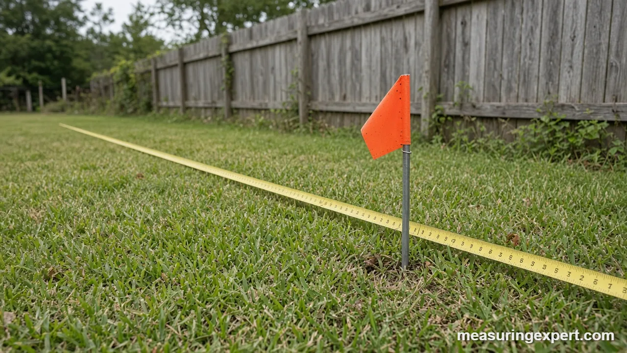
- Find the corner markers. Look for iron rods, pipes or caps near the corners on your plat. A metal detector can help if the marker is buried.
- Sketch and label. Draw the lot to scale and mark each distance and bearing from the plat.
- Measure between known markers. Pull the tape tight and level, or keep the laser on a firm target. Record each reading.
- Check with a second pass. Measure the same line in the opposite direction. The two readings should agree within an inch or two.
- Square the corners. Use a 3-4-5 triangle (for example 30, 40 and 50 feet) to confirm a right angle.
- Mark with temporary flags only. Do not set permanent fences or posts until a surveyor confirms the line.
Measure Property Boundaries on Slopes, in Heat and Over Long Runs
A deed distance is a horizontal distance, as if measured on a flat plane. If you lay a tape along a hillside, you read the longer slope distance. Also, the error grows quickly. On a 10 percent slope, 100 feet of tape on the ground covers only about 99.5 feet horizontally. On a 20 percent slope, the same tape covers 98.06 feet.
| Slope | Tape on the ground | Horizontal distance | Difference |
|---|---|---|---|
| 5% (2.9 degrees) | 100 ft (30.48 m) | 99.88 ft (30.44 m) | 0.12 ft |
| 10% (5.7 degrees) | 100 ft (30.48 m) | 99.50 ft (30.33 m) | 0.50 ft |
| 20% (11.3 degrees) | 100 ft (30.48 m) | 98.06 ft (29.89 m) | 1.94 ft |
| 30% (16.7 degrees) | 100 ft (30.48 m) | 95.78 ft (29.19 m) | 4.22 ft |
To avoid this, hold the tape level and plumb down from each end, or step the measurement in short level sections. Alternatively, measure the slope angle and calculate the horizontal part. Our guide to tools for measuring angles shows how to get a slope angle with a simple inclinometer.
Heat matters too. A steel tape expands by about 0.0000064 per degree Fahrenheit, so a 100-foot tape that is 30 degrees warmer than its calibration temperature reads long by roughly a quarter inch. Overall, that is small. Sag, however, is larger: an unsupported tape droops in the middle and reads short, so pull it taut and support it where you can.
Can GPS Measure Property Boundaries?
GPS can help you find the general area, but it cannot fix a legal line. According to GPS.gov, smartphones are typically accurate to within a 4.9 m (16 ft) radius under open sky, and the error grows near buildings, bridges and trees. Dual-frequency receivers with augmentation can reach a few centimeters, which is why surveyors use them.
That gap explains why a phone app often draws your fence line through the neighbor’s lawn. Similarly, free parcel viewers have the same problem. The BLM warns that GIS data not based on measurement may not provide accurate boundaries. Therefore, treat app lines as a rough guide to where to look, and then confirm with markers and paperwork.
What Pros Use to Measure Property Boundaries
Licensed surveyors combine several tools. A total station measures angles and distances to a prism or a surface with a laser. If you want to see how one works, read how to use a total station. GNSS receivers fix positions from satellites and correct them in real time. Some crews also fly drones for aerial maps or use laser scanners to capture a lot in three dimensions, as covered in our comparison of laser scanning vs traditional methods.
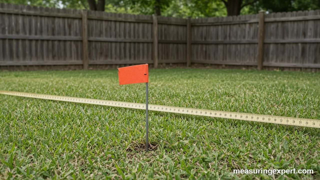
Drone maps are useful for planning, since they show trees, drainage and structures. Still, a drone photo on its own does not set a boundary. The legal line comes from the deed, the original evidence and the surveyor’s professional judgment.
Terms Often Confused When You Measure Property Boundaries
| Term | What it is | Does it set the legal line? |
|---|---|---|
| Deed | Legal description of the parcel and who owns it | It describes the line, but needs a survey to place it on the ground |
| Plat | Recorded map of a lot or subdivision | Yes, it is a key source for lot lines |
| Boundary survey | Fieldwork by a licensed surveyor with set monuments and a map | It is the best evidence of where the line is |
| County GIS map | Online parcel viewer | No, it is approximate |
| Setback | Required distance from the line to a building | No, it is a zoning rule |
Setbacks deserve a second look because they are measured from the boundary, so a wrong line means a wrong setback. Our guide to building setbacks explains how those distances are read on a site plan.
Do and Don’t When You Measure Property Boundaries
Do
- Read the deed and plat before you walk the lot.
- Measure horizontal distances between known markers.
- Record every reading with the date and tool.
- Repeat each line in the opposite direction.
- Call 811 before you dig for any marker.
Don’t
- Trust a phone app to place a fence.
- Move or remove a survey marker.
- Assume an old fence is the boundary.
- Measure along the ground on a steep slope.
- Skip a surveyor when a neighbor disagrees.
Honest Limits of DIY Boundary Measuring
A tape and a plat can tell you whether your lot looks right. However, they cannot tell you what the law says. For example, old fences, long-used driveways and court decisions can all affect where a line is held, and the rules differ by state. In addition, original markers may be lost, so a surveyor has to weigh several clues to re-establish a corner. A DIY check also depends on your tape being straight, tight and level, and on you finding the right marker in the first place. In short, your measurements are good evidence for a conversation with a surveyor, but they are not a survey.
When to Call a Licensed Surveyor
Hire a licensed land surveyor before any of these steps:
- Building a fence, wall or driveway within a few feet of a line.
- Buying or selling land when no recent survey exists.
- Disagreeing with a neighbor about where the line runs.
- Splitting a parcel or applying for a permit that needs a stamped drawing.
- Missing corner markers that you cannot find after a careful search.
Ask for a state license number, and ask whether the survey will set new monuments. For federal land, the BLM runs a Certified Federal Surveyor program that trains state-licensed surveyors to federal standards.
Keep Records After You Measure Property Boundaries
Good notes save time later. First, write the date, tools, weather and each reading in a field notebook, and photograph each marker with a tape beside it. Finally, store the photos, your sketch and any survey with your closing documents.
If a surveyor sets new markers, keep the signed map. When you sell, buyers and title companies often ask for it. Similarly, if you change the lot with a split or a boundary line adjustment, the county needs the new description recorded. Our post on how land area is measured helps you turn lot sizes into square feet and acres afterward.
Frequently Asked Questions
What is the best way to locate property boundary lines?
Start with your deed and plat, then find the corner markers. A licensed surveyor can confirm them or reset missing ones.
How do I measure property boundaries without a surveyor?
Measure between known corner markers with a tape or laser, using horizontal distances. Check each line twice, and treat the result as a rough check only.
How accurate is GPS to measure property boundaries?
Phone GPS is typically accurate to about 16 feet (4.9 m) under open sky. Survey-grade receivers can reach a few centimeters.
What is the most accurate app for finding property lines?
No app is accurate enough to place a legal line. Apps use parcel data that is approximate, so use them only to find the general area.
What is the physical measurement of a property boundary?
It is the horizontal distance and direction between corners, written in the deed or plat. Surveyors mark these corners with monuments such as rods or pipes.
How do you find survey markers on your property?
Use the plat distances from a known point, then probe the soil or use a metal detector. Most markers are iron or steel, and many sit just below the surface.
Can I measure property boundaries with a measuring wheel?
Yes, for rough lengths on even ground. A wheel can slip or bounce, so use a tape for any line near a fence or building.
How big is an acre in feet?
One acre is 43,560 square feet. As a square, that is about 208.7 feet (63.6 m) per side.
Who pays for a boundary survey?
Usually the person who orders it, such as the owner or the buyer. Costs depend on lot size, terrain and local rates, so ask a licensed surveyor for a quote.
Is a fence line the same as the property line?
Not necessarily. Fences are often built a little off the line, and only a survey can show where the true boundary lies.
How to Measure Property Boundaries: The Bottom Line
To sum up, read your deed and plat, find the markers, and measure horizontal distances between them with a good tape or laser. Check every line twice, correct for slope, and keep notes. As a result, you will know whether your lot matches the paperwork.
Finally, remember what the tools cannot do. Phone GPS is good to about 16 feet, and only a licensed surveyor can establish the legal line. Use the converter above for chains, feet and meters, and call a pro before you build.
1 thought on “How to Measure Property Boundaries Accurately: Tools, Steps and Limits”