
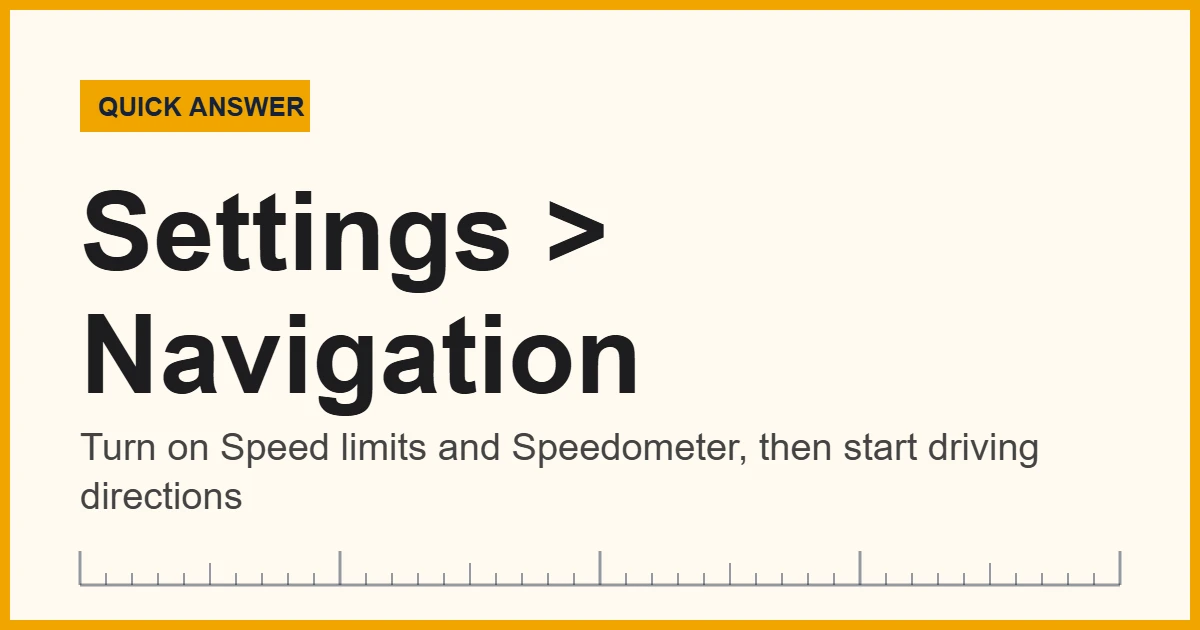
Yes. The Google Maps speed limit display works on both Android and iPhone in 2026. Open Google Maps, tap your profile picture, then go to Settings and Navigation, and turn on the speed limit and speedometer switches. After that, the posted limit appears in a corner of the screen during driving navigation wherever Google has data for that road.
Most drivers only notice a speed limit when they pass a sign, and then the next one is miles away. That gap is exactly where a phone helps. Google Maps can show the limit for the road you are on, next to a live speedometer that changes color when you go over. As a result, you get a steady reminder instead of guessing after a merge or a work zone.
The feature is not new on Android. However, iPhone users waited until July 2024, when Google added the speedometer and speed limits to Google Maps for iOS and Apple CarPlay. So in 2026 the Google Maps speed limit works on both phone platforms, plus Android Auto and CarPlay screens in the car. The browser version on a desktop computer, by contrast, is built for planning routes, so it does not show a live speed limit.
In short: turn on two switches, start driving navigation, and the limit shows up when Google has data for that road.
What Google Says About Its Speed Numbers
Google itself is careful about what the numbers mean. Its Google Maps Help page on the speedometer says the readings are for information only, and it tells drivers to confirm their real speed on the car’s own speedometer. Similarly, Google’s developer documentation admits that its speed limit data can be estimated, incomplete or out of date.
Below you will find the exact steps for each phone, a quick mph and km/h converter for driving abroad, the reasons the limit sometimes disappears, and how a phone speedometer compares with the one in your dashboard.
How to Turn On the Google Maps Speed Limit on Android
On Android, both switches sit in the navigation settings. Menu names shift a little between app versions, so look for the same words if your screen looks slightly different.
- Open the Google Maps app. Update it first in the Play Store if it has not updated in a while.
- Tap your profile picture or initial. You will find it in the top right corner of the map.
- Choose Settings, then Navigation. On some versions, Navigation sits under a Getting around heading.
- Scroll to Driving options. This group holds the speed-related switches.
- Switch on Speed limits and Speedometer. Turning on both gives you the posted limit plus your own GPS speed.
- Start driving navigation to any destination. The speed limit sign and speedometer then appear in a lower corner of the screen.
Google Maps Speed Limit on iPhone and iPad
The iPhone version works the same way, although Google files the switches under slightly different headings. First, open Google Maps and tap your profile picture. Next, go to Settings and then Navigation. Google’s help page lists the Show speedometer switch under Map display on iPhone and iPad; the speed limit switch sits close by, often under Driving options. Finally, start navigation, and the limit and your speed appear on the map.
If you use Apple CarPlay, the same Google Maps settings carry over to the car screen. Meanwhile, if you also want to know how the phone itself works out your speed, our guide to measuring speed with an iPhone explains the GPS method and the apps that use it.
Convert a Speed Limit Between mph and km/h
Google Maps shows limits in the units used where you are driving. For example, a rental car in Canada or Europe means signs in kilometers per hour, while the US and UK use miles per hour. Type any speed below to convert it instantly.
The converter uses the exact definition of a mile, 1.609344 km. For the bigger picture on why countries split this way, see our guide to metric vs imperial units. Here are the limits you will meet most often:
| US limit (mph) | Equals (km/h) | Common metric limit (km/h) | Equals (mph) |
|---|---|---|---|
| 25 mph | 40.2 km/h | 30 km/h | 18.6 mph |
| 35 mph | 56.3 km/h | 50 km/h | 31.1 mph |
| 45 mph | 72.4 km/h | 80 km/h | 49.7 mph |
| 55 mph | 88.5 km/h | 90 km/h | 55.9 mph |
| 65 mph | 104.6 km/h | 100 km/h | 62.1 mph |
| 70 mph | 112.7 km/h | 110 km/h | 68.4 mph |
| 75 mph | 120.7 km/h | 120 km/h | 74.6 mph |
| 80 mph | 128.7 km/h | 130 km/h | 80.8 mph |
Recommended Tools for Checking Your Driving Speed
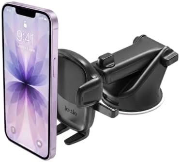
A phone is handy, but it is not the only way to see your speed. For instance, a GPS head-up display puts your speed on the windshield where your eyes already are, a sturdy mount keeps the phone in view without holding it, and a dedicated GPS navigator shows limits without using your phone at all. Look for clear daytime brightness, a fast satellite fix, and a mount that does not block the road.


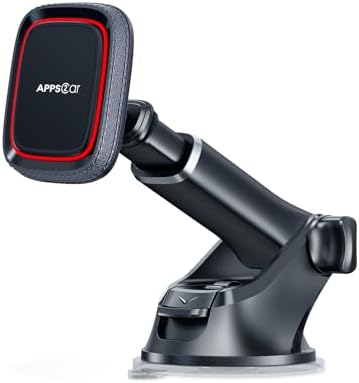

As an Amazon Associate, Measuring Expert earns from qualifying purchases.
Where the Google Maps Speed Limit Works
Coverage depends on the country, the road and the device. In 2026, Google reports good speed limit data in more than 40 countries and regions, mostly on major roads. Rural and newly built roads, however, are the most likely to be missing.
| Where you use Google Maps | Speed limit shown? | Speedometer shown? |
|---|---|---|
| Android phone app | Yes, where data exists | Yes |
| iPhone and iPad app | Yes, where data exists (added July 2024) | Yes |
| Android Auto | Yes, where data exists | Yes |
| Apple CarPlay | Yes, where data exists (added July 2024) | Yes |
| Desktop web browser | No live display | No |
The sign also matches local style. In the US, it looks like a white rectangular SPEED LIMIT sign. In most other countries, instead, it shows the number inside a red circle.
How Google Gets Its Speed Limit Data
Google combines several sources. First, local governments supply official limits and default limits for road types. Next, Street View images are scanned with machine learning to read speed limit signs, and images from partners fill gaps. Then Google matches each sign to its GPS position and watches traffic patterns for clues that a limit has changed. Finally, an operations team reviews changes before they reach the map.
Even so, signs change faster than any map. A new school zone, a lowered limit on a bridge, or a temporary work zone can all appear before the next Street View drive. That is why Google’s Roads API documentation warns that its speed limit data is not real time and may be outdated.
Why the Google Maps Speed Limit Is Not Showing
If the sign never appears, work through these causes in order. Most of the time, one of the first three is the answer.
- The switch is off. Recheck Settings, Navigation and the speed limit switch, because app updates sometimes reset it.
- You are not navigating. The limit normally appears only during turn-by-turn driving directions, not while you browse the map.
- No data for this road. Small or new roads, and some countries, simply have no limit stored yet.
- Location access is limited. Allow precise location for Google Maps; otherwise speed cannot be tracked well.
- Wi-Fi only mode is on. Turn it off in Settings so the app can load map data on mobile data.
- The app is out of date. Update Google Maps, then force-stop and reopen it if the problem stays.
Google Maps Speedometer vs Your Car Speedometer
The two numbers often differ by a few miles per hour, and both can be “right” for different reasons. The phone measures how far its GPS position moves each second. The car, on the other hand, counts wheel turns and multiplies by the tire size. Labs use a third method, timing an object between two sensors, which our guide to measuring speed with light gates explains.
| Feature | Google Maps speedometer | Car speedometer |
|---|---|---|
| How it measures | Change in GPS position over time | Wheel or transmission rotation |
| Typical bias | Small, random; worse in tunnels and city canyons | Usually reads a little high by design |
| Delay | About a second behind when you speed up or brake | Almost instant |
| Affected by tires | No | Yes; worn or larger tires shift the reading |
| Legal reference | Information only | The one you are expected to follow |
Car speedometers usually read high on purpose. For example, European rules (UNECE Regulation 39) allow the indicated speed to be up to 10% plus 4 km/h above the true speed, but never below it. So at a true 100 km/h, a compliant dial may show anything from 100 to 114 km/h. A phone showing slightly less than your dashboard is therefore normal.
The GPS delay matters too. At 65 mph you cover about 95 feet (29 m) every second, so a one-second lag means the number trails the car when you brake for a lower limit. In addition, the official GPS.gov accuracy page notes that real accuracy depends on atmospheric effects, sky blockage and receiver quality.
Do and Don’t With Phone Speed Limits
Do
- Set up both switches before you leave.
- Mount the phone where you can glance at it.
- Treat the posted sign as the final word.
- Slow down early when a work zone begins.
- Report wrong limits in the app once parked.
Don’t
- Hold the phone in your hand while driving.
- Assume no sign on screen means no limit.
- Rely on the app in tunnels or garages.
- Ignore school zone times and flashing lights.
- Trust the app over an electronic overhead sign.
Honest Limits of the Google Maps Speed Limit
The feature is a helpful reminder, not a guarantee. To begin with, the stored limit can be out of date, missing, or tied to the wrong lane at a highway exit. Moreover, time-based limits, such as school zones that apply only on school days, may show as one number all day. GPS speed also drops out under bridges and in tunnels, and it lags behind quick changes. In short, use the app to stay aware, and then check the signs and your dashboard for the actual rule.
A speeding ticket follows the posted sign, not the app. So if Google Maps shows 65 and a temporary sign says 45, the 45 applies.
When to Trust the Sign, Not the Screen
Some situations call for extra care, because the map is most likely to lag behind reality there:
- Work zones. Temporary limits and lane shifts rarely reach map data in time.
- School zones. Lower limits often apply only at set hours or when lights flash.
- Weather. Snow, fog and ice call for slower speeds than any posted figure.
- Border crossings. Units switch between mph and km/h; check the converter above before you go.
Frequently Asked Questions
Can you check speed limits on Google Maps?
Yes. Google Maps shows the posted limit for many roads on Android, iPhone, Android Auto and CarPlay. Turn on the speed limit switch in Settings, then Navigation, and start driving directions.
Is the Google Maps speed limit available on iPhone?
Yes. Google added the speedometer and speed limits to Google Maps for iPhone and CarPlay in July 2024. Look for the switches under Settings, then Navigation.
Why does the Google Maps speed limit not show on my phone?
Usually the switch is off, you are not in driving navigation, or Google has no data for that road. Also check location permission, Wi-Fi only mode and app updates.
Does Google Maps show speed limits without navigation?
Normally no. The speed limit and speedometer appear during turn-by-turn driving directions, so start navigation to any destination to see them.
Can I see the Google Maps speed limit on a computer?
No. The desktop browser version is for planning routes and does not show a live speed limit or speedometer.
Does Google Maps warn you when you are speeding?
Yes, visually. Where speed limit data exists, the speedometer changes color when your speed goes over the posted limit.
How accurate is the Google Maps speedometer?
It is usually within a few mph of your true speed in open areas, but it lags slightly and can drop out in tunnels. Google says it is for information only.
Why is my car speedometer higher than Google Maps?
Car speedometers are often set to read a little high. European rules, for example, allow up to 10% plus 4 km/h above true speed, so a small gap is normal.
Does Google Maps show speed limits in km/h or mph?
It shows the limit in the units used on local signs, so km/h in most countries and mph in the US and UK.
Is there another app that shows the speed limit?
Yes. Waze and several dedicated GPS navigation apps also show speed limits and speed alerts, and coverage varies by app and country.
The Bottom Line
To sum up, you can check speed limits on Google Maps on both Android and iPhone. Turn on the speed limit and speedometer switches under Settings and Navigation, start driving directions, and the posted limit appears wherever Google has data for that road. CarPlay and Android Auto show it too, while the desktop site does not.
Finally, treat the on-screen number as a reminder. Signs, work zones and your car’s speedometer still decide the real limit, and the converter above helps whenever you cross into a country that uses different units.
1 thought on “Can You Check Speed Limits on Google Maps? How to Turn Them On (2026)”