
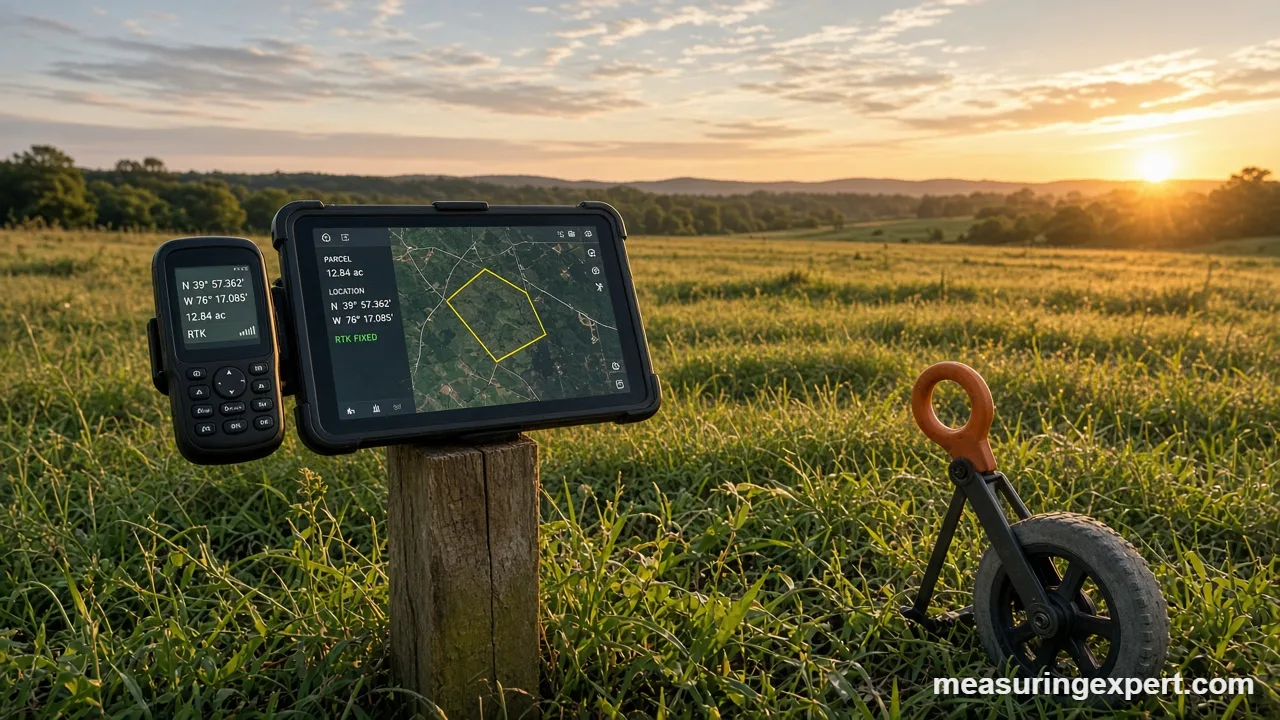
GIS land measurement uses mapping software to calculate area, distance and elevation from georeferenced data such as GPS points, aerial images and lidar. It is fast and repeatable, and with good data it is accurate to a few feet. However, legal boundaries still need a licensed surveyor.
A geographic information system (GIS) stores maps as layers of data. Each layer is tied to real coordinates on Earth, so the software can measure whatever you draw. For example, you can trace a field and read its acreage in seconds. As a result, owners, planners and farmers now start most land questions in a GIS.
The speed comes with a catch. A GIS answer is only as good as the data and the map projection behind it. Therefore, this guide shows how the measurements work, where the errors hide, and how to check a result before you rely on it.
In short: GIS is excellent for planning and estimating, and it is poor as proof of a property line. The US government’s GPS accuracy page explains why. Ordinary receivers are good to a few meters, while corrected survey receivers reach centimeters.
- What GIS land measurement means
- Land area converter for GIS results
- Recommended tools for GIS land measurement fieldwork
- How GIS land measurement works
- How to measure area and distance in GIS
- Map projections and area errors
- Data sources and their accuracy
- GIS land measurement vs traditional surveying
- Where GIS is used
- Do and don’t
- Honest limits of GIS land measurement
- When to call a surveyor
- FAQs
What GIS Land Measurement Means in Practice
GIS land measurement is the use of geographic information systems to find the size, shape, position and height of land. The software works with two kinds of data. First, vector data holds points, lines and polygons, such as a parcel outline. Second, raster data holds grids of cells, such as a satellite image or an elevation model.
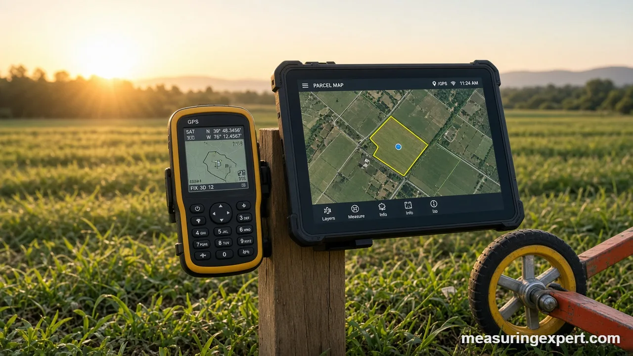
Measuring is then a matter of geometry. First, the software reads the coordinates of a polygon’s corners and calculates its area. Likewise, it adds up the segments of a line to get a distance. The math is exact, but the coordinates are not, because they come from imagery, GPS or older maps.
In short, think of it as a very fast, very consistent ruler. It never misreads a tape. On the other hand, it will happily measure a wrong line with perfect precision.
Land Area Converter for GIS Results
GIS programs often report area in square meters or square feet. Use the converter below to turn a result into acres or hectares. For instance, 20,234.3 square meters is 5 acres.
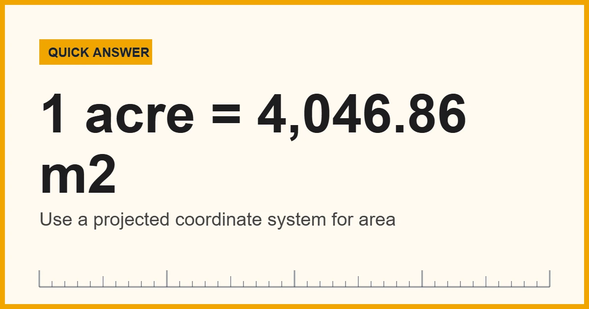
The defining value is 1 acre = 4,046.8564224 square meters, which is exactly 43,560 square feet. To convert by hand, simply divide square meters by 4,046.8564224. Also, remember that 1 hectare is 10,000 square meters, or about 2.471 acres.
Recommended Tools for GIS Land Measurement Fieldwork
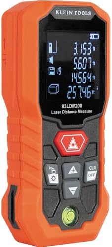
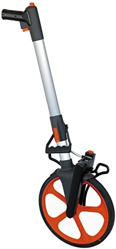
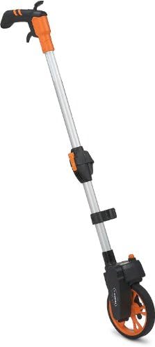
Software does the mapping, but field tools let you check it. A handheld GPS receiver can record a walked boundary or confirm a corner. In addition, a measuring wheel or a laser distance meter gives you an independent length to compare with the map. Also look for clear accuracy specifications from the maker, and use the tool on a short known distance first.



As an Amazon Associate, Measuring Expert earns from qualifying purchases.
Key Takeaways on GIS Land Measurement
- GIS measures area, distance and elevation from georeferenced data.
- Results are only as accurate as the source data and coordinate system.
- Use a projected coordinate system for area, not raw latitude and longitude.
- Consumer GPS is good to a few meters; corrected receivers reach centimeters.
- Parcel layers show approximate lines, not legal boundaries.
- Always cross-check one key number with a second method.
- Record the data source, date and coordinate system with every result.
How GIS Land Measurement Works Behind the Screen
Every measurement in a GIS rests on three parts: a datum, a coordinate system and a data source. Together, they tell the software where a point sits on Earth and how reliable that position is.
Datums and coordinate systems
A datum is a mathematical model of Earth’s shape. For example, most US work uses NAD83, while GPS itself reports positions in WGS84. The two differ by roughly one to two meters across the continental US, so mixing them without a transformation shifts everything. Next comes the coordinate system. In contrast, geographic coordinates use degrees of latitude and longitude. Projected coordinates, such as State Plane or UTM, use feet or meters on a flat grid.
Why degrees are hard to measure
A degree of latitude is about 111 km (69 miles) everywhere. However, a degree of longitude shrinks toward the poles. At 40 degrees north, for example, it is only about 85 km (53 miles). Consequently, software must convert or project degrees before it can give a trustworthy length or area.
Layers and metadata
Each layer should carry metadata that states who made it, when, and at what scale or accuracy. If you skip this step, you cannot judge the result. A parcel layer from 2012 and an aerial photo from 2024 may not line up, even though both look sharp on screen.
How to Measure Area and Distance in GIS
These steps work in most desktop GIS programs and in many free web tools. First, pick a tool that lets you choose the coordinate system. Unfortunately, some quick web maps do not.
- Set a projected coordinate system. Choose State Plane or the right UTM zone for your site. As a result, this keeps distances and areas close to true values.
- Load your layers. Next, add recent aerial imagery, a parcel layer if one exists, and an elevation model for slope or height.
- Read the metadata. Note the date, source and stated accuracy of each layer before you trust it.
- Draw or select the feature. Trace the outline with the polygon tool, or select an existing parcel. Also zoom in and place vertices carefully.
- Calculate area or length. Use the field calculator or measure tool, and pick the unit you want. Square meters are the safest base unit.
- Convert the units. Use the converter above to get acres or hectares. Then round sensibly; a 5.0000 acre answer from a 10 ft accurate map is false precision.
- Cross-check one number. Walk or wheel a single side, or compare with a deed or survey. If the two disagree by more than your tolerance, find out why.
- Record the details. Write down the coordinate system, data sources and dates next to the result.
Map Projections and Area Errors in GIS Land Measurement
A flat map cannot show a round Earth without stretching something. Each projection chooses what to keep true, such as shape, area or distance. For example, many free web maps use Web Mercator, which keeps shapes but inflates area away from the equator.
| Coordinate system | Best for | Area accuracy |
|---|---|---|
| Latitude and longitude (degrees) | Storing and sharing positions | Not usable for area without conversion |
| Web Mercator | Web map display | Poor; area is inflated by about 1.70 times at 40 degrees north |
| State Plane | Local and state work in the US | Very good within its zone |
| UTM | Regional work in a 6-degree wide zone | Good; scale error stays under about 0.1% |
| Equal-area projection | Comparing areas across large regions | Area is preserved by design |
Elevation adds a second effect. Grid distances refer to sea level, whereas you walk on the ground. At 1,000 m (3,281 ft) above sea level, a 1,000 m ground distance shrinks by about 0.16 m on a sea-level grid. This is small for a backyard. However, it matters for long pipelines, roads and surveys.
Data Sources and Their Accuracy
Therefore, different inputs give very different results. The table compares the ones you will meet most often, using published agency figures where they exist.
| Data source | Typical horizontal accuracy | Notes |
|---|---|---|
| Phone or basic GPS | A few meters (about 10 ft) | Worse near buildings and trees |
| High-quality single-frequency GPS | Better than 2.2 m (7.1 ft) 95% of the time | GPS.gov performance figure |
| Corrected survey GNSS (RTK) | Centimeters | Needs a correction signal and clear sky |
| Aerial imagery | Varies by source and date | Check the metadata before tracing |
| USGS 1-meter elevation model | 1 m cells (3.3 ft) | Built from lidar; coverage keeps expanding |
| USGS 1/3 arc-second elevation model | About 10 m cells (33 ft) | Seamless for the whole country |
GPS.gov states that high-quality civilian receivers do better than 2.168 meters, 95% of the time, and that augmented systems reach a few centimeters. The USGS describes its 3D Elevation Program products, including the 1-meter and 1/3 arc-second models, on its 3DEP products page. For slope and height work, see our guide to measuring land elevation changes.
GIS Land Measurement vs Traditional Surveying
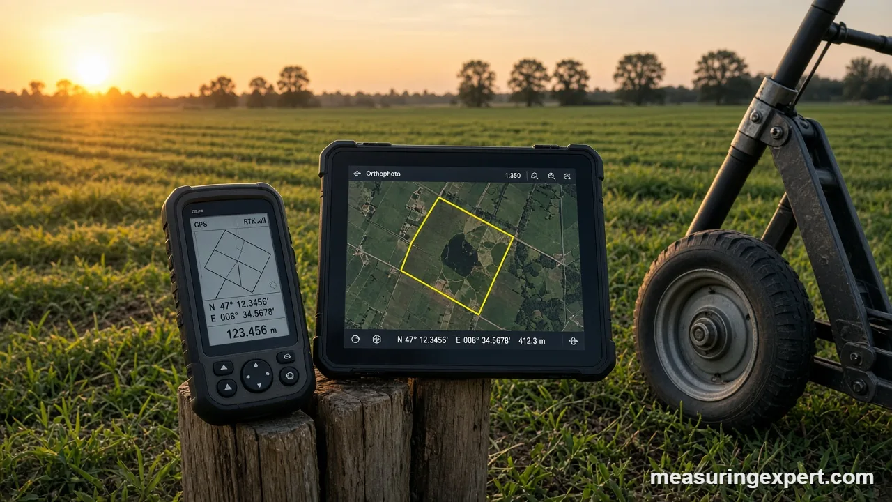
In short, GIS and field surveying solve different problems. In fact, a good project often uses both.
| Feature | GIS desktop measurement | Field survey (total station or GNSS) |
|---|---|---|
| Speed | Minutes for most sites | Hours to days |
| Cost | Low once data is available | Higher; needs crew and equipment |
| Typical accuracy | Feet, set by the source data | Centimeters to inches |
| Legal standing | Planning use only | Can support a signed, sealed plat |
| Best for | Estimates, screening, large areas | Boundaries, construction layout |
To see how crews collect those precise field points, read how to use a total station. For a wider comparison of methods, our article on laser scanning vs traditional measurement covers cost and accuracy trade-offs.
Where GIS Land Measurement Is Used
Urban planning and infrastructure
For instance, planners overlay parcels, zoning, roads and utilities to see what fits where. For example, they measure lot sizes against minimum-area rules and check road frontage. Because the layers update easily, a change in one rule can be tested across a whole city in minutes.
Agriculture and land suitability
Farmers also measure field sizes to plan seed, fertilizer and irrigation. Meanwhile, soil and slope layers show which parts of a field suit which crop. A precise acreage also matters for insurance and program payments, so it is worth checking against official records.
Environment and resource management
Similarly, conservation staff map wetlands, forests and flood zones, then measure how much land changes over time. As a result, they can compare satellite images from different years and report real acreage lost or restored.
Property research and cut-and-fill planning
Buyers use GIS to estimate lot area and slope before they visit, so they can rule out poor sites early. Contractors compare terrain models to plan grading, which our guide to cut and fill volumes explains. Also, deeds and surveys define acreage in their own way, so compare a GIS result with the paperwork.
Do and Don’t With GIS Measurements
Do
- Choose a projected coordinate system first.
- Check each layer’s date and stated accuracy.
- Zoom in before you place vertices.
- Cross-check one length with a tape or wheel.
- Round to match the data quality.
Don’t
- Measure area in raw degrees.
- Treat a parcel layer as a legal boundary.
- Mix datums without a transformation.
- Quote six decimals from a 10 ft map.
- Skip the metadata.
Honest Limits of GIS Land Measurement
GIS is a model of the land, and models have edges. Parcel layers are usually drawn from deeds and tax maps, and counties therefore say plainly that they are not survey products. In addition, aerial imagery can be several years old, and tall features can lean away from their true position.
Digital precision is also misleading. A GIS can print an area to four decimals, yet the outline may be wrong by 10 ft. Therefore, report results at the accuracy your data supports. Finally, privacy matters. Detailed parcel and ownership data can reveal personal information, so follow your local rules when you share maps.
When to Call a Licensed Surveyor
A homeowner can use GIS to estimate acreage, compare options and prepare questions. However, a licensed land surveyor is needed for boundary lines, subdivisions, permits, title disputes and construction layout. They can sign and seal a plat that a court or county office will accept.
For example, hire one when you buy land and the deed is unclear, or when a neighbor disputes a line. Our guide to measuring property boundaries accurately explains what the process involves.
Frequently Asked Questions About GIS Land Measurement
What is GIS land measurement?
It is the use of mapping software to calculate the area, length, shape and elevation of land from georeferenced data such as GPS points, aerial images and lidar.
How is GIS used in land surveying?
Surveyors use it, for example, to manage field data, draw plats, overlay parcels and check results. The legal measurements themselves still come from field work.
How accurate is GIS land measurement?
It depends on the source data. For example, basic GPS is good to a few meters, while corrected survey receivers reach centimeters. Traced imagery is often accurate to several feet.
Can I use GIS to find my property line?
You can estimate it. However, a parcel layer is not a legal boundary, so you need a licensed surveyor for the true line.
Why is my GIS area different from my deed?
Deeds describe legal boundaries from older surveys. In contrast, GIS areas come from digitized outlines in a chosen projection, so small differences are normal.
Which coordinate system should I use for area?
Use a projected system such as State Plane or the correct UTM zone. Avoid raw latitude and longitude, and avoid Web Mercator for area.
How do I convert square meters to acres?
Divide square meters by 4,046.8564224. For example, 20,234.3 square meters is 5 acres.
What is the main role of GIS in modern map making?
It stores data in layers, so mapmakers can combine, update and style information quickly, then produce maps for different audiences from one database.
What are the benefits of GIS for land use planning?
It lets planners overlay zoning, parcels, flood zones and utilities, measure available land, and test scenarios before anything is built.
Is free GIS software good enough?
Yes, for estimates. Free tools can handle projections and area, but you must still check the data source and coordinate system.
GIS Land Measurement: The Bottom Line
To sum up, GIS gives quick, repeatable measurements of area, distance and elevation. Its accuracy depends on the data and the coordinate system, so always check both. Start with a projected system, read the metadata, and cross-check one number in the field.
Finally, use the converter above to turn square meters into acres, and keep your records with each result. For anything legal or expensive, however, bring in a licensed surveyor.