

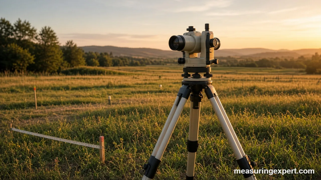
Angle measurement in surveying is how surveyors fix the direction between points on the ground. Combined with measured distances, angles let them calculate positions, boundaries and elevations. Instruments such as theodolites and total stations read horizontal and vertical angles, often to a few arc seconds.
Land does not come with a grid painted on it. Instead, surveyors build one, point by point, and angles are the glue that holds every point in place. For instance, a distance alone tells you how far away something is. In contrast, an angle tells you which way to look.
Below, you will find out how angle measurement in surveying works, which instruments do the job, and why a tiny error matters. First, try the height calculator. After that, we cover the methods, the math and the tools worth knowing.
Find a Height From a Vertical Angle
First, a vertical angle is one of the simplest surveying measurements. Stand a known distance from a tree, pole or building, measure the angle up to its top, and add your eye height. Finally, enter those three numbers below to get the height.
The Role of Angle Measurement in Surveying
In short, every survey answers one question: where is this point? To answer it, a surveyor usually needs a distance and a direction. Angle measurement in surveying supplies the direction. As a result, it sits behind property boundaries, road alignments, building layouts and topographic maps.
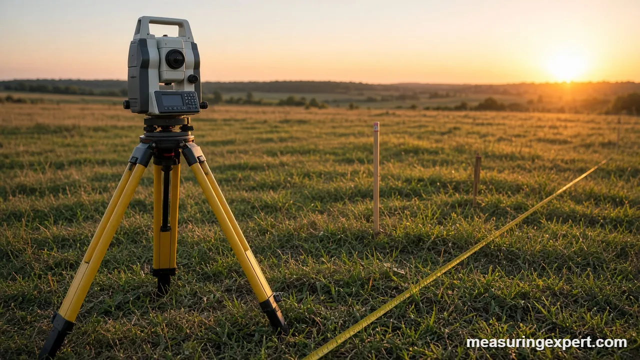
In practice, two kinds of angles do most of the work. First, a horizontal angle is the turn between two lines of sight, measured in a flat plane. Second, a vertical angle is the tilt above or below the horizon. As a result, they let a surveyor turn one instrument position into dozens of mapped points.
The National Geodetic Survey (NGS) explains in its history of theodolites that the instrument measures horizontal angles to build triangles and vertical angles to find elevations. In fact, for decades that approach underpinned geodetic networks across the country.
Angle Units Surveyors Use
Surveyors in the United States mostly write angles in degrees, minutes and seconds. For example, one degree has 60 minutes, and one minute has 60 seconds. Other units appear in specific fields, so conversions matter.
| Unit | Full circle | Right angle | Where it appears |
|---|---|---|---|
| Degrees | 360 | 90 | Most US land surveys |
| Gons (grads) | 400 | 100 | Many European instruments |
| Radians | 2 pi (6.2832) | 1.5708 | Calculations and software |
| Mils (NATO) | 6400 | 1600 | Military mapping |
Because instruments can be set to different units, always check the display before you write down a reading. A value of 100 means a right angle in gons, but only slightly more than a right angle in degrees.
Recommended Tools for Angle Measurement in Surveying
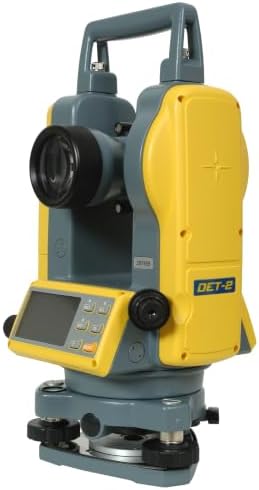
In general, professional work calls for a total station or a high-grade theodolite. For learning, small projects and site layout, however, a digital theodolite, an automatic level, a pocket transit or a long tape can cover many jobs. First, match the instrument to the accuracy you need. Next, check the angular resolution on the spec sheet. Finally, plan for a sturdy tripod, because a wobbly setup spoils even the best optics.




As an Amazon Associate, Measuring Expert earns from qualifying purchases.
If you want to see a modern instrument in action, our guide on how to use a total station walks through a typical setup.
Key Takeaways
- Angles give direction, and distances give length; therefore surveyors need both to fix a point.
- A theodolite reads horizontal and vertical angles, while a total station adds distance.
- Degrees, minutes and seconds are standard in the US, while gons are common abroad.
- The interior angles of a closed polygon add up to (n – 2) x 180 degrees.
- Reading with the telescope in both positions therefore cancels several instrument errors.
- One arc second shifts a point only about 0.058 inches over 1,000 feet.
Instruments for Angle Measurement in Surveying
Several instruments read angles. However, they differ in precision, cost and speed.
| Instrument | What it measures | Typical use |
|---|---|---|
| Magnetic compass or pocket transit | Bearings, rough vertical angles | Reconnaissance, geology, forestry |
| Optical or digital theodolite | Horizontal and vertical angles | Layout, control networks |
| Total station | Angles plus electronic distance | Boundary, topographic and construction surveys |
| Automatic level | Horizontal line of sight for elevations | Grading, leveling runs |
| GNSS receiver | Positions from satellites | Control points, large sites |
In short, a theodolite is a telescope on a precisely graduated circle. In the NGS account, crews leveled it over a station, sighted each target and recorded the circle readings. Meanwhile, a total station keeps that design but adds an electronic distance meter and a data collector. Therefore, one setup yields angle, distance and coordinates at once.
How to Measure a Horizontal Angle
Overall, the routine below describes a standard theodolite or total station setup. Also, follow your instrument’s manual.
- Set up over the station. Place the tripod above the point and center the instrument with its plummet.
- Level the instrument. Use the foot screws and the bubble so the vertical axis is truly vertical.
- Sight the backsight. Aim the crosshairs at the first target and set the horizontal circle to zero.
- Turn to the foresight. Rotate clockwise, aim at the second target and read the angle.
- Flip the telescope. Plunge the telescope, rotate the instrument 180 degrees and repeat both sightings.
- Average the readings. Compare the two faces and average them if they agree within tolerance.
In fact, the flip in step 5 is not a ritual. NGS crews repeated their sets with the telescope turned 180 degrees to reduce systematic errors, and modern crews do the same.
Traverses and the Sum of Interior Angles
In practice, a traverse is a chain of connected lines. Specifically, surveyors measure the angle at each corner and the length of each side. When the chain closes into a polygon, the interior angles must add up to a known total: (n – 2) x 180 degrees.
| Corners (n) | Shape | Interior angles sum |
|---|---|---|
| 3 | Triangle | 180 degrees |
| 4 | Quadrilateral | 360 degrees |
| 5 | Pentagon | 540 degrees |
| 6 | Hexagon | 720 degrees |
If the measured angles do not add up, the difference is the angular misclosure. First, surveyors compare it with an allowable limit, which depends on the survey standard and the instrument. Next, they spread any small leftover error across the angles. In contrast, a large misclosure means a blunder, so the crew goes back and re-measures.
Why Small Angle Errors Matter
In general, an angle error grows with distance. One arc second is about 1/3600 of a degree, and at 1,000 feet it moves a point only about 0.058 inches. However, a 20-second error at 500 feet moves the point by about 0.58 inches. As a result, long sights need careful angles, while short sights can tolerate more.
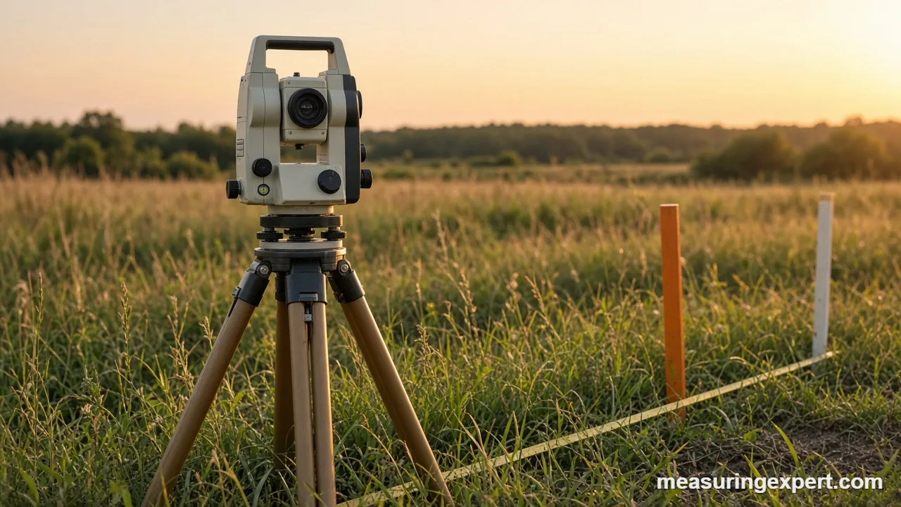
Common error sources include:
- Centering. An instrument that is not exactly over the point therefore changes every angle.
- Leveling. A tilted vertical axis also tilts the whole circle.
- Pointing. Heat shimmer and fuzzy targets also make the crosshair hard to place.
- Reading. Transposed digits cause surprisingly many blunders.
- Instrument error. Collimation and circle errors are reduced by reading in both telescope positions.
Where Surveyors Use Angles
For example, angles show up in almost every kind of survey.
- Boundary surveys. Deed calls give bearings and distances, so the surveyor retraces the angles to find corners. Our article on measuring property boundaries covers the basics.
- Topographic mapping. Horizontal and vertical angles also locate ground points for contour lines.
- Construction layout. Crews stake corners, walls and roads from planned coordinates.
- Height checks. Vertical angles give heights of towers and buildings, as in building height measurement.
In addition, newer methods such as laser scanning still rely on the same geometry. For a side-by-side look, see laser scanning vs traditional methods.
Do and Don’t for Reliable Angles
Do
- Check the instrument’s level before each set.
- Read the angle in both telescope positions.
- Confirm the angle units on the display.
- Close the traverse and test the angle sum.
- Record readings clearly in the field book.
Don’t
- Skip the backsight check.
- Bump the tripod during a set.
- Trust one reading on a long sight.
- Mix degrees and gons in one data file.
- Ignore a bad angle sum.
Honest Limits of Angle Measurement in Surveying
In fact, instruments measure what they see. However, they cannot fix a bad setup, and they cannot tell a hedge from a boundary. Moreover, the earth is curved and the air bends light, so long sights need corrections. For most small lots those corrections are tiny. For long lines, however, software and careful procedures take them into account.
Also, a handheld tool or a phone app will not give survey-grade angles. Still, they are fine for a rough height or slope. They are not a substitute for a licensed surveyor’s work.
When to Hire a Licensed Surveyor
For example, property lines, easements, setbacks and building permits need a licensed land surveyor. In addition, only a licensed professional can sign a boundary survey in most states. A surveyor also knows local record practices and legal descriptions. For related rules, see our overview of building setbacks.
Frequently Asked Questions
What is the role of angle measurement in surveying?
In short, it gives direction between points. Combined with distances, angles let surveyors compute positions, areas, boundaries and elevations.
What is the purpose of measuring angles in a survey?
Measured angles fix the shape of a traverse or network. They also let crews check their work, since the angles must add up correctly.
What is angular measurement in surveying?
In other words, it is the process of reading horizontal and vertical angles between lines of sight. Surveyors do this with a theodolite, a total station or similar tools.
What is the point about which an angle is measured?
Specifically, the angle is measured at its vertex, the point where the two lines meet. In the field, that is the instrument station.
What is the difference between a theodolite and a total station?
First, a theodolite reads angles only. A total station also measures distance electronically and stores the data.
How accurate is angle measurement in surveying?
Overall, it depends on the instrument and method. Many survey instruments are rated from about 1 to 5 arc seconds, and careful procedures improve the result.
Why do surveyors read angles with the telescope in both positions?
Reading both faces cancels several instrument errors. For that reason, NGS crews repeated sets with the telescope turned 180 degrees.
How many degrees are in a closed polygon?
The interior angles sum to (n – 2) x 180 degrees. A four-sided figure totals 360 degrees, and a five-sided one totals 540 degrees.
How many seconds are in a degree?
There are 3,600 arc seconds in one degree: 60 minutes, each with 60 seconds.
Can I do angle measurement in surveying with a phone?
For example, a phone can estimate a slope or a height. It cannot match the accuracy of a surveying instrument, so use it only for rough checks.
Angle Measurement in Surveying: The Bottom Line
To sum up, angle measurement in surveying turns distances into maps. Horizontal and vertical angles fix directions, a traverse checks them, and careful procedures keep small errors small.
Finally, use the calculator above for quick heights, pick tools that fit your accuracy needs, and hire a licensed surveyor when a boundary or permit is involved.